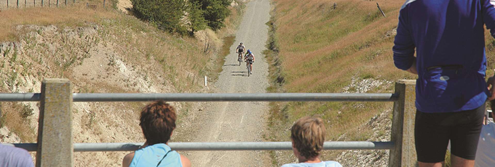
Oturehua to Wedderburn Distance: 12 km
- Be sure not to leave Oturehua without visiting Gilchrist Store that’s been in business since 1899.
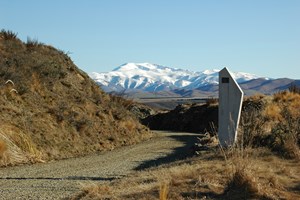
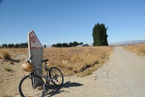
- On Oturehua’s northern outskirts is the first of two 45º South Latitude markers on the trail to Wedderburn. 45 south puts you halfway between the Equator and South Pole.
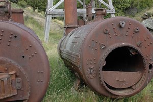
- Where the trail crosses Reef Road there’s a short and worthwhile detour to the historic Golden Progress Mine where Otago’s only remaining ‘poppet head’ straddles the deep shaft used for bringing gold-bearing ore to the surface.
- After a gradual climb up Rough Ridge, you will come to a second 45º South Latitude marker.
- Further on, take a breather at Seagull Hill Gangers’ Shed.
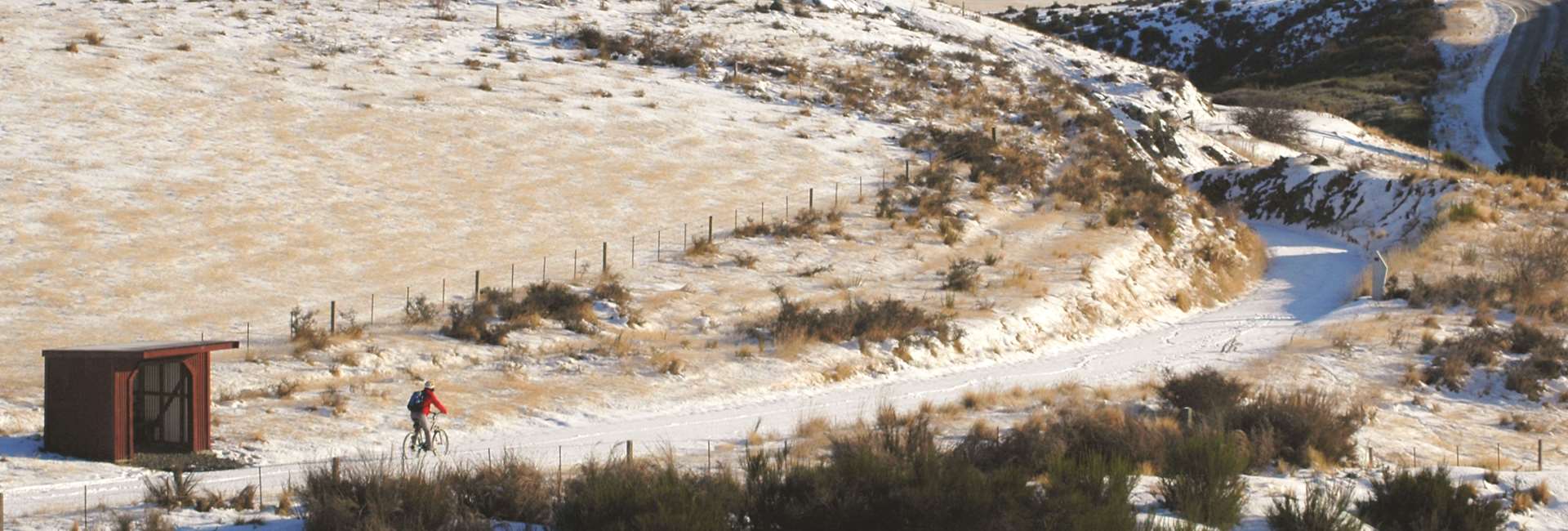
- On the top of the ridge you’ll have reached 618 metres above sea level. And that means you’ve conquered the highest point of the Otago Central Rail Trail.
- An easy slope takes you to the tiny town of Wedderburn boasting a 9-hole golf course and quaint country pub.
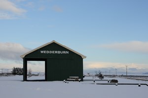
- On leaving Wedderburn, the trail crosses SH 85 to the iconic Wedderburn goods shed made famous by eminent Central Otago artist, Grahame Sydney.
Historic Golden Progress
The historic Golden Progress Mine may be visited by turning off the trail and following Reef Road, which is clearly sign-posted from the trail. Note that the mine is normally closed to the public in spring time due to lambing.
45º South Latitude
The 45º South Latitude is sign-posted on a concrete monument. After a gradual climb up Rough Ridge, you will come to a second crossing of the 45º South Latitud.
Highest point of the Rail Trail
On the top of the ridge you have conquered the highest point of the Rail Trail, at 618 metres above sea level.
Wedderburn Goods Shed
A good photo opportunity presents itself with the Wedderburn Goods Shed. This magical building made famous by Grahame Sydney, never fails to please through a camera lens.